Drone Training
Gain hands-on drone training with expert guidance and industry-relevant certification.Build practical flying skills, safety awareness, and confidence for real-world applications.
Drone Training Services in India
Basic Drone Pilot Training
We provide comprehensive beginner-level training for aspiring drone pilots, combining classroom instruction with hands-on flight practice. Trainees learn flight fundamentals, safety protocols, airspace regulations, and mission planning. This course equips students with the foundational skills needed to operate drones confidently for recreational and professional purposes.
Advanced Drone Operations
Our advanced training programs focus on specialized drone operations, including aerial mapping, precision surveying, and industrial inspections. Participants gain in-depth knowledge of complex flight techniques, payload handling, and real-time data collection, enabling them to undertake high-value commercial drone projects with efficiency and accuracy.
Cinematography & Media Drone Training
We teach drone-based filming techniques to produce cinematic-quality visuals for films, commercials, and digital content. Trainees learn camera stabilization, framing, movement planning, and post-processing, enabling them to create visually compelling footage that enhances storytelling and production value.
Agricultural Drone Training
Our training modules focus on drone applications in agriculture, including crop monitoring, pesticide spraying, and field analysis. Participants learn to capture multispectral imagery, interpret crop health data, and optimize farm management practices, helping farmers improve yield and reduce operational costs.
Surveying & Mapping Drone Training
We offer professional training in aerial surveying and mapping, covering photogrammetry, 3D modeling, and GIS integration. Trainees acquire the skills to capture accurate geospatial data, conduct land assessments, and create detailed topographical maps for infrastructure, real estate, and urban planning projects.
Inspection & Industrial Drone Training
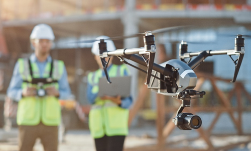
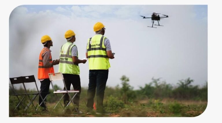
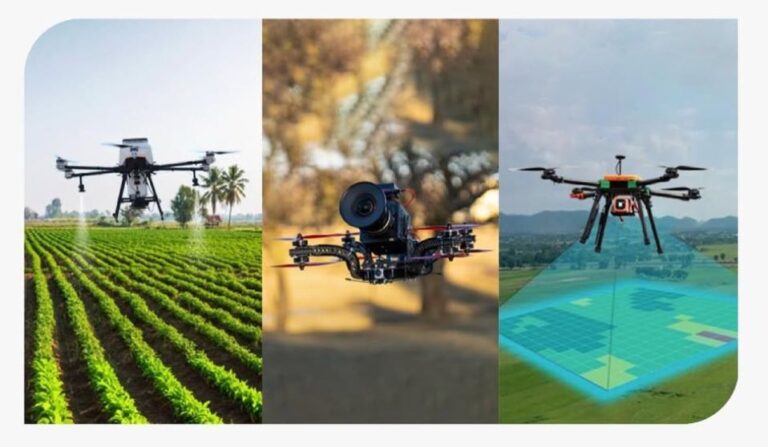
Our drone courses for industrial applications teach participants to conduct inspections of power lines, pipelines, factories, and construction sites. Trainees learn safety compliance, data acquisition, and analysis techniques, enabling them to support maintenance, monitoring, and risk assessment projects efficiently.
Drone Technology & Workshops
We provide hands-on workshops on drone assembly, repair, and maintenance. Participants learn about sensors, flight controllers, and battery management, ensuring drones operate safely and effectively. These sessions equip aspiring professionals with the technical expertise to troubleshoot and maintain drones for long-term use.
Remote Pilot Certification
We prepare candidates for the DGCA Remote Pilot Certificate (RPC), ensuring compliance with Indian drone regulations. Training includes both theoretical exams and practical flight assessments, providing a credential that allows participants to operate drones commercially across India with full legal authorization.
Customized Drone Training Programs
We design tailored training programs to meet specific industry needs, whether for filmmaking, real estate, agriculture, or industrial applications. From curriculum planning to hands-on flight exercises and post-processing guidance, our courses ensure safe, effective, and impactful learning experiences that meet project objectives.
Deliverables we provide
Post Processed Drone Video
Drone Videos help our clients to take a quick overview of their critical assets. Our highly professional editing team performs post-processing on Drone videos highlighting every possible important information of client’s assets. These highly informative drone videos help our clients in decision making about their critical assets, avoiding operation failure, avoiding accidents, improving safety, ensuring structural integrity, maximizing efficiency and production, etc.
Drone Image
Our drones are equipped with advanced sensors like Thermal sensor and RGB Image sensor and can deliver Images with 4k resolution. We help our clients by delivering aerial data (images) of inaccessible areas. This data provides our clients with a detailed view of their assets, enabling them to assess asset conditions under load. Additionally, our clients utilize aerial images to keep a track of their important assets.
Industries benefiting from Asset Inspection
Agriculture
Real Estate
Infrastructure
Entertainment
Mapping & GIS
Tourism
Ready to Get Started?
Contact us today to discuss your project requirements
and discover how our drone solutions can benefit your business.