SurveyCopter is a digital transformation and aerial interlligence company delivering high-precision Surveying, Construction Monitoring , Asset inspection,Cleaning and Fixed Camera Solutions.
We serve infrastucture developers,EPC contractions, power utilities,renewable energy operators,industrial facilities ,real estate groups, and government agencies acroos india.
With 70+ active projects across 18 cities ,10,000+ , pacing for end to end digital transformation of site with in-house expertise, 100+ trusted clients , SurveyCopter delivers end-to-end aerial intelligence with in-house expertise,certified pilots,and DGCA- compliant operations.
Data alone does’nt drove progress -accuracy . insight and on-ground execution do.
Give us a call or shoot us an email. We’ll discuss the scope of your project, answer your questions, and get a clear understanding of your needs.
Plan the Mission
We’ll collaborate with you to define the ideal flight patterns, focus areas, and reporting needs for your project. Then we’ll schedule your survey date as soon as the price quote is approved.
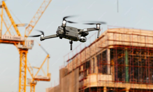
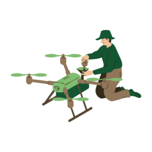
Capture the site
On the scheduled day, our expert drone pilots will handle the flight to ensure accurate and efficient data collection from your project site.
Data Delivery
We’ll deliver your data in a well-packaged, ready-to-use format, with overlapped visuals from GPS and drone data, plus a 3D render (CAD file) for enhanced analysis
Our Features
10x Faster Data Acquisition
With our team of experienced drone pilots and with survey grade drones we collect aerial data 10x faster than our competitors.
5x Faster Delivery
We have team of GIS experts working around clock to process and analyse the Drone survey data to deliver on or before time.
99% Accurate Measurement
We deliver results with up to 99% of accuracy. We use Machine Learning to process data for better accuracy in yield estimation, volumetric measurements, etc
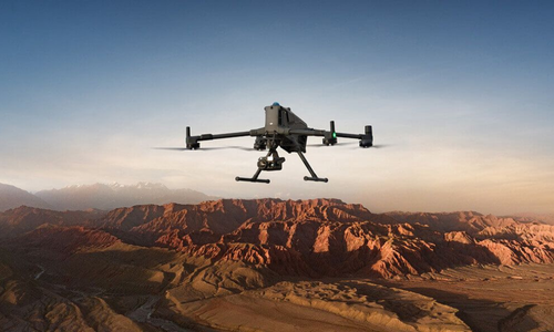
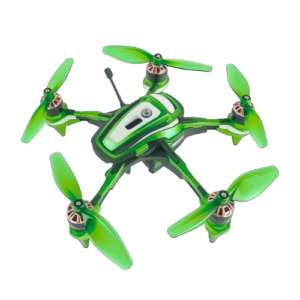
Advance Equipment
Our surveying drones are top-tier, equipped with high-resolution sensors to ensure superior data quality. We employ a combination of DJI and custom-made drones for surveying operations.
Team of Experts
Our dedicated team of highly experienced GIS engineers, drone pilots, and software engineers works tirelessly around the clock to deliver the finest service experience possible.
One to One Support
From project initiation to completion, we offer comprehensive support to our clients, assisting them in making informed decisions based on survey data.
Ready to Get Started?
Contact us today to discuss your project requirements
and discover how our drone solutions can benefit your business.