02 / SURVEYCOPTER PRODUCT SYSTEMSFIELD → MODEL → DECISION

Purpose-built
for the mission.

Named SurveyCopter systems bring aircraft, sensors, ground methods and digital delivery together around the job to be done.

EXPLORE THE PRODUCT LINE ↓
8 MISSION CONFIGURATIONS01 / CAPTURE02 / PROCESS03 / DELIVER

Start with the outcome.
Configure around the ground.

There is no universal aircraft or payload for every survey. SurveyCopter configures each product system around terrain, accuracy, access, safety and the deliverable your team needs. A system name describes the mission workflow; final aircraft, sensor, permissions and specification are confirmed for each project.

02 / THE PRODUCT LINE

CAPABILITY CONFIGURATIONS
BUILT AROUND REAL PROJECT WORK

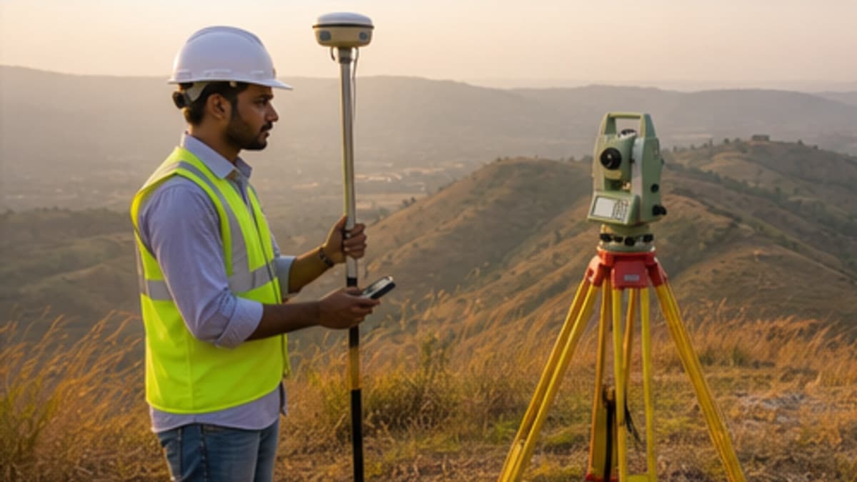
Survey professional carrying out controlled topographic field captureSC / 01
TOPOGRAPHIC & LAND MAPPING

TerraSight T1

A clear picture of the ground.

A site-mapping configuration for land development, engineering design and property intelligence. The capture plan pairs aerial coverage with ground control and the checks required by the project.

OrthomosaicDTM & contoursCAD / GIS base map
Explore survey systems
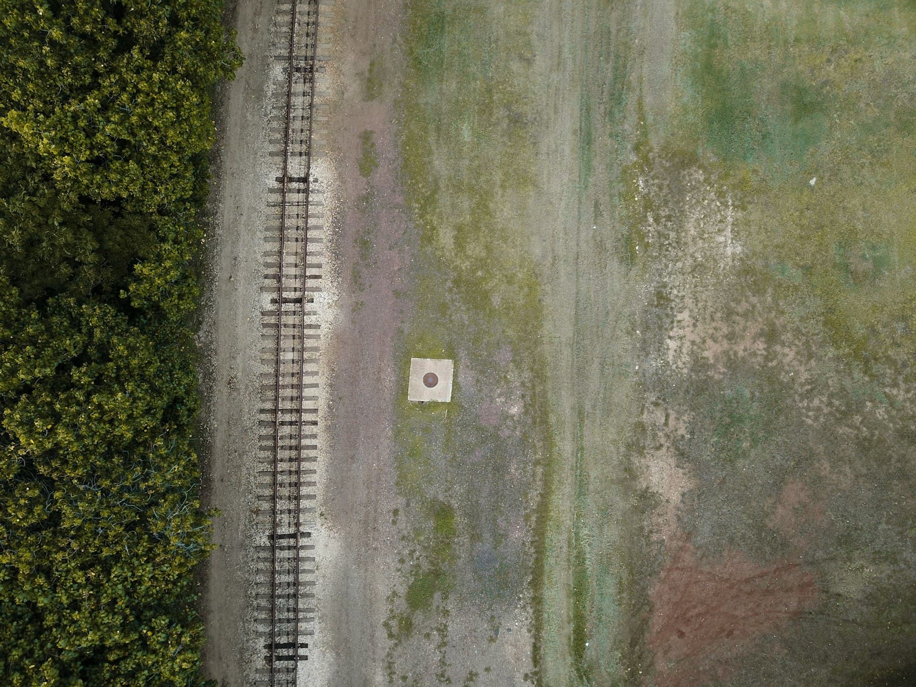
Aerial view along a rail corridor for route mappingSC / 02
LIDAR & LINEAR ASSETS

CorridorOne L1

Long routes. One spatial record.

A corridor-focused configuration for roads, rail, transmission and pipeline programs. Sensor and control choices are planned around vegetation, access, visibility and the required profile or asset outputs.

LAS / LAZ point cloudProfiles & sectionsAsset context
Explore corridor mapping
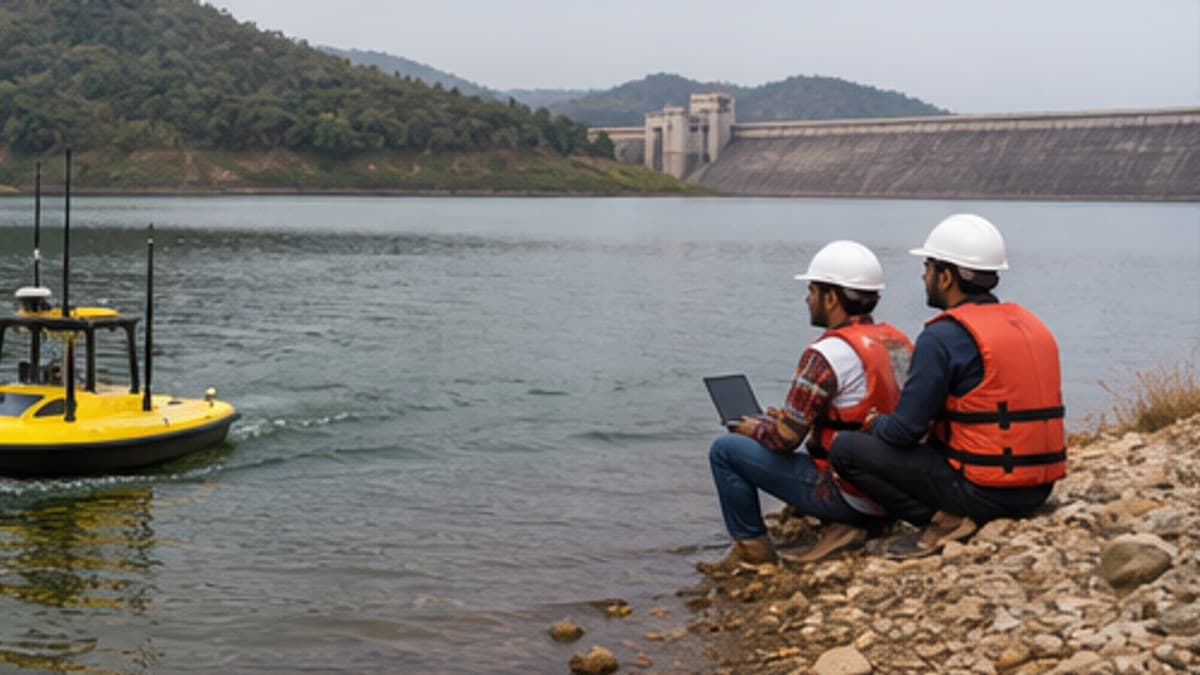
Survey crew and unmanned surface vessel collecting reservoir depth dataSC / 03
BATHYMETRY & WATER ASSETS

HydroTrace H1

Map the surface below.

A coordinated waterbody survey workflow connecting depth observations, shoreline and surrounding terrain to one project reference. Scope is adapted to access, depth, water conditions and the required engineering decision.

Depth soundingsBed surface & contoursStage-area records
Explore bathymetric surveys
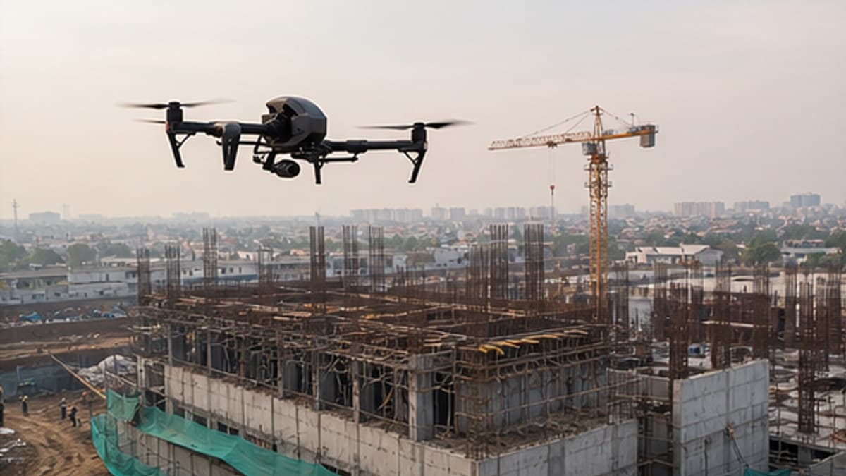
Survey drone capturing a construction site for progress monitoringSC / 04
CONSTRUCTION INTELLIGENCE

SitePulse C1

Progress you can compare.

A repeat-capture system for construction teams that need consistent site records, quantities and visual comparisons. Capture dates and outputs can connect to the Falcon AI project workspace.

Dated site viewsProgress comparisonVolume reporting
Explore construction intelligence
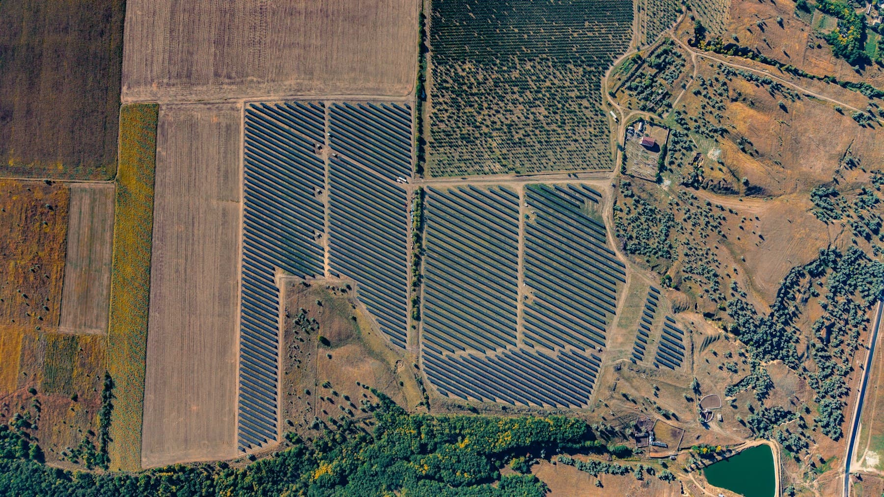
Aerial survey view of a large solar farmSC / 05
SOLAR ASSET INSPECTION

SolarTrace S1

Find the signal across a portfolio.

An aerial inspection configuration for solar assets, pairing visual or compatible thermal capture with location-linked evidence and a practical review workflow for operations teams.

Geolocated findingsVisual / compatible thermal dataPrioritized review
Explore asset inspection
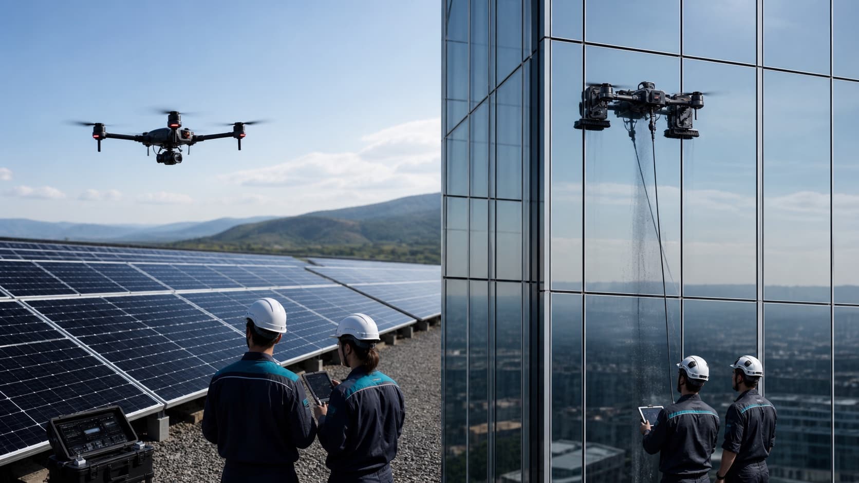
Inspection drone working beside a facade with a trained field teamSC / 06
ELEVATED INSPECTION & CLEANING

StructureCare A1

Reach difficult surfaces safely.

A close-range asset-care workflow for facades and industrial structures. Inspection, cleaning equipment and operating methods are selected for the surface, access plan, safety conditions and approved scope.

Condition imageryDefect registerScoped cleaning plan
Explore inspection & cleaning
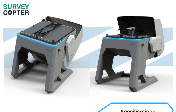
SurveyCopter autonomous drone dock product systemSC / 07
AUTONOMOUS SITE OPERATIONS

SiteWatch D1

A repeatable eye on site.

A dock-based operating concept for planned, recurring site observation. Mission schedules, access controls and review procedures are defined around the site and its operating permissions.

Scheduled captureRemote review workflowSite activity records
Explore autonomous operations
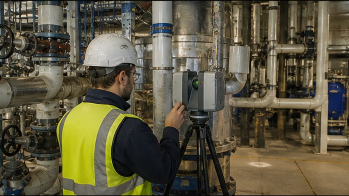
Surveyor collecting detailed existing-condition data inside an industrial facilitySC / 08
SCAN TO BIM & DIGITAL TWINS

RealityFrame R1

Existing conditions, ready to coordinate.

A reality-capture configuration connecting aerial, LiDAR and ground data to existing-condition models and spatial project records. Model detail, formats and acceptance criteria are agreed for each delivery.

Registered point cloudRVT / IFC modelModel QA record
Explore Scan to BIM
03 / THE DIGITAL DELIVERY LAYER

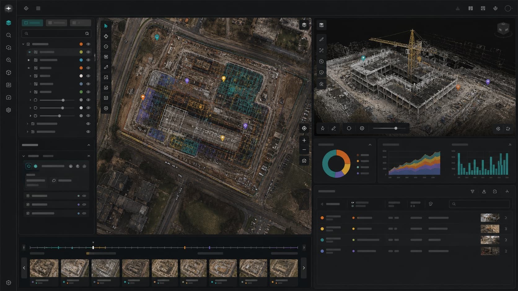
Every mission can continue into Falcon AI.

Connect captured data, mapped observations, measurements and reports in a shared project workspace. Keep the product system tied to what teams need to understand and decide.

Explore Falcon AI ↗
SurveyCopter Falcon AI spatial project workspace
SPECIFY YOUR OPERATING NEED

Let the site define
the system.

Tell us about the asset, terrain, access and the decision you need to support. We will recommend a practical capture and delivery configuration.

Discuss a product system ↗

YOUR NEXT SITE
STARTS HERE

17.4483° N / 78.3915° E

Bring us the
complex ground.

Start a project enquiry ↗

Tell us about the site, the decision, or the uncertainty. We’ll define the right capture and intelligence workflow.