A multi-mission aircraft with RGB mapping and surveillance camera configurations.
SkySwift 56 supports interchangeable mission payloads for surveying, mapping, surveillance and training. RGB camera choices of 24 MP, 48 MP and 61 MP are supplied by SurveyCopter for this listing. The brochure gives separate endurance figures by camera configuration; actual flight time varies with payload, conditions and mission settings.
Review the selected configuration, operating limits and the outputs to agree before a mission.
RGB camera options
24 MP, 48 MP or 61 MP (SurveyCopter-provided options)
Mapping camera configuration
Up to 52 min, brochure listed
Surveillance camera configuration
Up to 56 min, brochure listed
FPV camera configuration
Up to 54 min, brochure listed
Motors
4
Battery
6S, 16,800 mAh
Maximum all-up weight
3.4 kg including payload
Maximum speed
15 m/s
Maximum altitude
120 m
Maximum range
1,500 m, day and night (brochure listed)
Autonomous flight termination system
Yes, brochure listed
Specifications and availability can vary by model revision and payload. Confirm the selected configuration and mission requirements with SurveyCopter before procurement.
02KEY HIGHLIGHTS
Built around the operation.
CAPABILITIES
Mission planning around site conditions
Capture specification aligned to the deliverable
Field control and QA planned with the project team
COMMON APPLICATIONS
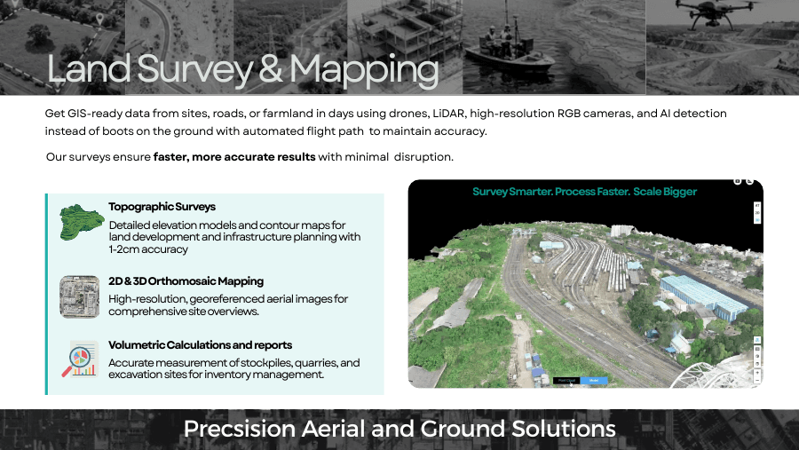
Topographic mapping
Land development
Construction baselines
03INDUSTRY APPLICATIONS
One platform. Many site questions.
Example missions and deliverables are illustrative. Final scope, format and acceptance criteria are agreed for each project.
Highways & transport
Route and site baselines
Capture the corridor, junctions, work fronts and nearby terrain for planning and progress review.
EXAMPLE OUTPUTS
Georeferenced orthomosaic
Surface model and contours
Route progress record
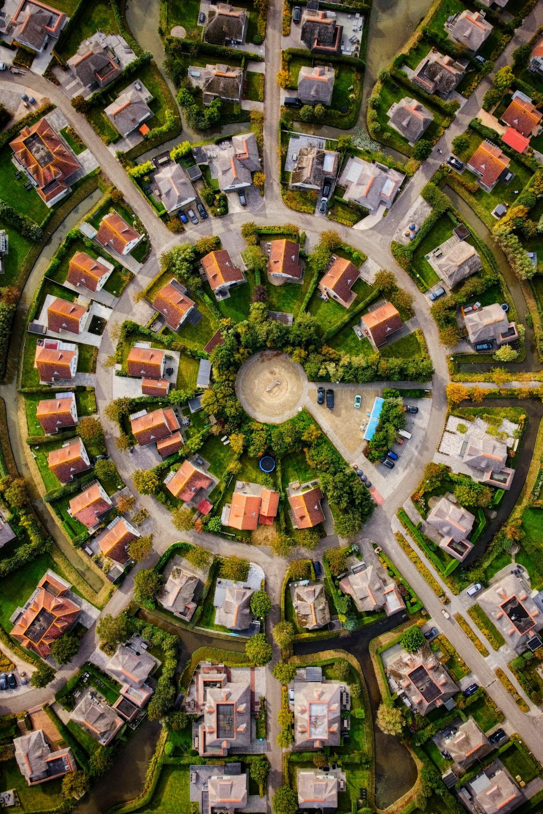
Urban development
Development-area mapping
Build a current visual record of parcels, access, earthworks and surrounding built context.
EXAMPLE OUTPUTS
Orthomosaic
Site-wide visual record
Planning base layers
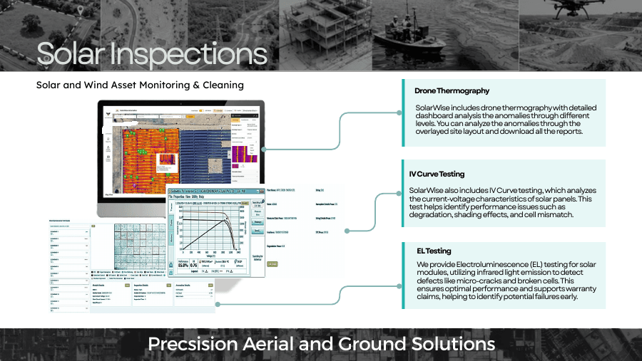
Energy & utilities
Solar and asset context
Map large sites and visible assets to support inspection planning and maintenance records.
EXAMPLE OUTPUTS
Asset location layer
Inspection imagery index
Change comparison
Water resources
Reservoir and catchment context
Create a dated surface record for shoreline, access, sedimentation context and post-event review.
EXAMPLE OUTPUTS
Shoreline orthomosaic
Terrain surface
Repeat-capture comparison
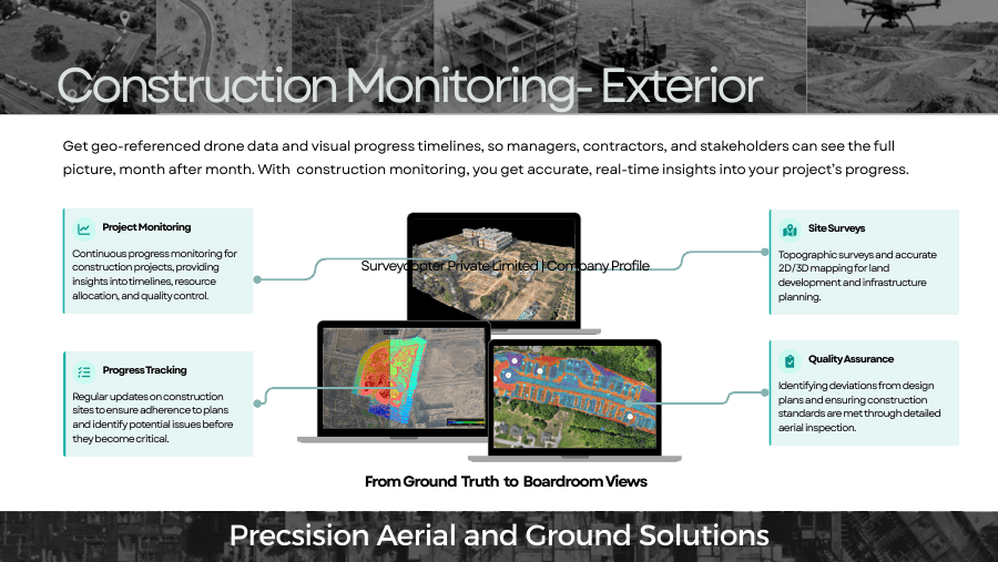
Construction
Progress and quantity context
Repeat the same capture plan to document work fronts and support visual progress reviews.
EXAMPLE OUTPUTS
Dated orthomosaics
Progress comparison
Surveyed volume calculations
Emergency response
Rapid post-event overview
Capture an aerial overview of accessible areas to help teams prioritize follow-up field checks.
EXAMPLE OUTPUTS
Rapid site overview
Access and impact map
Geotagged observations
04 / ACCURACY & VALIDATION
Measure it. Then verify it.
No single accuracy value applies to every SkySwift 56 mission. Achievable map accuracy depends on the camera and lens, flight height, image overlap, lighting, GNSS workflow, ground control, processing and independent checkpoints. Agree a measurable target and verification method before capture.
Sensor range precision, image resolution and end-to-end survey accuracy describe different things. The project scope should state the acceptance metric and how it will be checked.
05PRODUCT FAQ
Questions before you specify it.
Answers focus on configuration and project planning; confirm the exact product build and operating requirements with the team.
Which RGB camera can I choose?+
The listed options are 24 MP, 48 MP and 61 MP. The appropriate camera depends on required ground sampling distance, flight height, coverage and processing needs.
How long can SkySwift 56 fly?+
The supplied brochure lists up to 52 minutes with a mapping camera, 56 minutes with a surveillance camera and 54 minutes with an FPV camera. These are configuration-specific brochure figures, not a guaranteed mission duration.
What accuracy can I expect from a survey?+
Accuracy is project-specific. We plan the camera, flight geometry, GNSS and ground control around a stated target, then verify it with independent checkpoints where the scope requires.
Can it be used for highway, mining or construction work?+
Yes, RGB capture can support visual baselines and mapping in these settings. If vegetation penetration, detailed bare-earth terrain or dense 3D geometry is required, a LiDAR configuration may be more suitable.
06 / SURVEYCOPTER WORKFLOW
One product. One planned mission.
Before deployment, SurveyCopter confirms site constraints, aircraft or sensor configuration, operating requirements, data outputs and acceptance checks with the project team.
01Scope the jobLocation, coverage, access, safety and required decision.
02Confirm configurationPlatform, payload, control and current product specifications.
03Capture & deliverPlanned fieldwork, QA and an agreed delivery package.