SkySwift XP configured with a Livox Avia LiDAR sensor and an RGB camera for aerial mapping.
This product configuration pairs the SkySwift XP survey platform with Livox Avia LiDAR and an RGB camera. The sensor figures below are published Livox Avia specifications; integrated aircraft endurance, camera resolution, coverage and survey accuracy depend on the final payload, mounting, navigation and calibration. No certification or system-level accuracy claim is made for this LiDAR configuration until the delivered build is verified.
Review the selected configuration, operating limits and the outputs to agree before a mission.
Aircraft platform
SkySwift XP; listed for this platform
LiDAR sensor
Livox Avia
RGB imagery
Integrated RGB camera; resolution to be confirmed for selected camera
Avia point rate
240,000 points/s (single return); up to 720,000 points/s (triple return)
Avia detection range
Up to 190 m at 10% reflectivity under 100 klx; target and conditions matter
Avia field of view
70.4° × 77.2° (non-repetitive scan)
Avia range precision
2 cm at 20 m, 1σ, 80% reflectivity target
Aircraft positioning
RTK/PPK listed for SkySwift XP; integration to be confirmed
Integrated flight time and accuracy
Confirm for the final aircraft, LiDAR, RGB and navigation configuration
Specifications and availability can vary by model revision and payload. Confirm the selected configuration and mission requirements with SurveyCopter before procurement. Livox Avia figures describe the sensor only; integrated flight time, coverage and survey accuracy depend on the completed build. Livox Avia specification source ↗
02KEY HIGHLIGHTS
Built around the operation.
CAPABILITIES
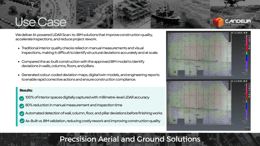
Plan sensor, RGB camera, mount, power and time synchronization as one system
Specify control, calibration and accuracy checks for the deliverable
Confirm aircraft, payload and operating permissions for each mission
COMMON APPLICATIONS
Corridor and route mapping
Terrain and vegetation capture
Construction and infrastructure surveys
03INDUSTRY APPLICATIONS
One platform. Many site questions.
Example missions and deliverables are illustrative. Final scope, format and acceptance criteria are agreed for each project.
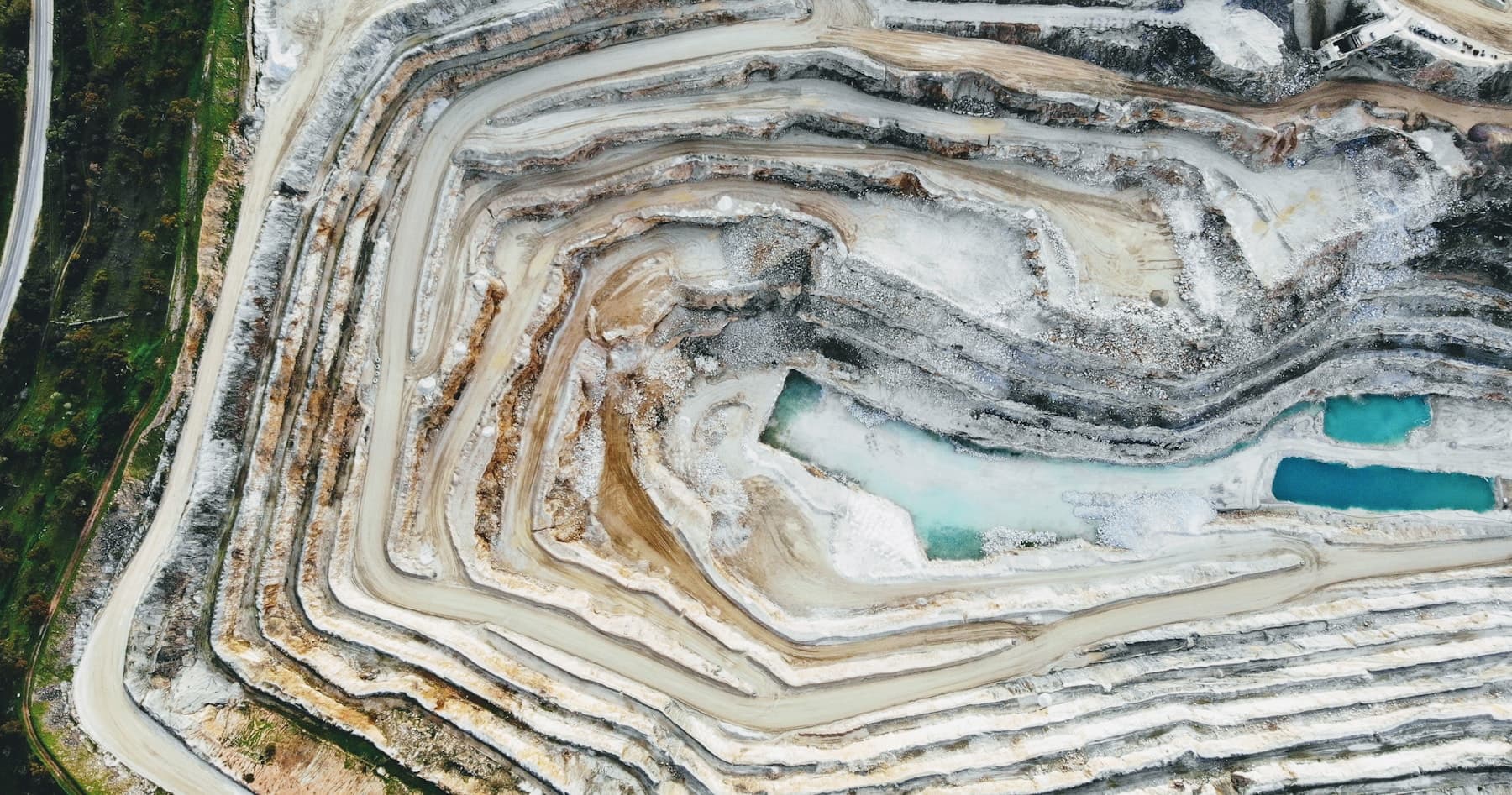
Mining & aggregates
Terrain and stockpile mapping
Capture mine benches, haul roads, stockpiles and surrounding terrain for engineering review.
EXAMPLE OUTPUTS
LAS/LAZ point cloud
DTM and contours
Cut/fill or stockpile volumes
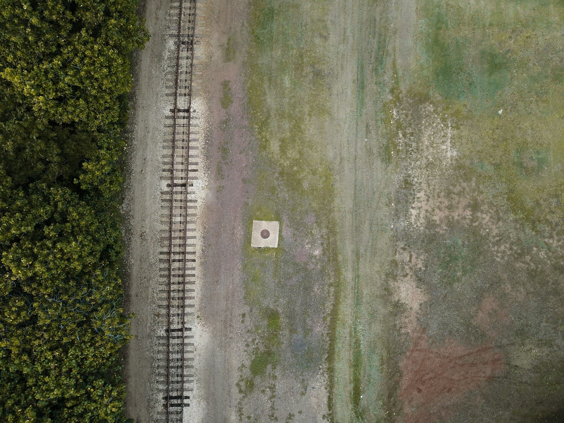
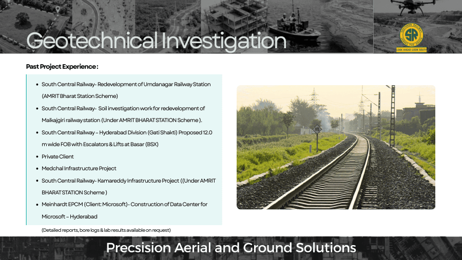
Highways & rail
Corridor profiles and clearance context
Map long routes and adjacent terrain for design, maintenance and change review.
EXAMPLE OUTPUTS
Classified point cloud
Longitudinal and cross sections
Clearance and terrain review layers
Energy & utilities
Vegetation and asset corridors
Build a spatial record of corridors, poles, structures and nearby vegetation for inspection planning.
EXAMPLE OUTPUTS
3D corridor point cloud
Vegetation-height context
Asset inventory layers
Water resources
Catchment and embankment terrain
Map accessible ground around reservoirs, channels and flood-control assets for engineering context.
EXAMPLE OUTPUTS
Terrain model
Embankment profiles
Shoreline and access context
Construction & urban works
Earthworks and built-site capture
Document complex sites where dense elevation data can support design coordination and progress review.
EXAMPLE OUTPUTS
Registered point cloud
DTM/DSM surfaces
Dated change comparison
Emergency response
Rapid terrain assessment
Capture accessible terrain after a landslide, flood or other event to guide targeted ground inspection.
EXAMPLE OUTPUTS
Terrain overview
Slope and access context
Georeferenced review layers
04 / ACCURACY & VALIDATION
Measure it. Then verify it.
Livox Avia range precision is a sensor measurement specification, not the absolute accuracy of a completed survey. Final horizontal and vertical accuracy depends on aircraft integration, GNSS/IMU trajectory quality, boresight calibration, control, flight geometry, surface conditions and independent checkpoints. Set and validate project accuracy separately for each mission.
Sensor range precision, image resolution and end-to-end survey accuracy describe different things. The project scope should state the acceptance metric and how it will be checked.
05PRODUCT FAQ
Questions before you specify it.
Answers focus on configuration and project planning; confirm the exact product build and operating requirements with the team.
What does the Livox Avia measure?+
It is a LiDAR sensor that records 3D range returns. Published sensor specifications include up to 720,000 points per second in triple-return mode and a 2 cm range-precision figure at a defined 20 m test condition; these do not equal end-to-end survey accuracy.
Why combine LiDAR with an RGB camera?+
LiDAR provides 3D range measurements while RGB imagery adds visible surface context and can help with interpretation and deliverables. The sensors need suitable mounting, timing and calibration for the intended workflow.
Can the system map vegetation and corridors?+
It can be scoped for corridor and terrain mapping. Coverage, point density and ground visibility depend on flight height, speed, scan pattern, vegetation, overlap and operating constraints.
What accuracy will the finished point cloud achieve?+
That must be established for the complete aircraft, sensor and navigation setup. We define control and checkpoint procedures, calibrate the system and report measured results for the agreed scope.
Which deliverables can be supplied?+
Depending on the project, deliverables may include LAS/LAZ point clouds, terrain or surface models, contours, sections and RGB imagery products. Confirm formats and acceptance criteria before the mission.
06 / SURVEYCOPTER WORKFLOW
One product. One planned mission.
Before deployment, SurveyCopter confirms site constraints, aircraft or sensor configuration, operating requirements, data outputs and acceptance checks with the project team.
01Scope the jobLocation, coverage, access, safety and required decision.
02Confirm configurationPlatform, payload, control and current product specifications.
03Capture & deliverPlanned fieldwork, QA and an agreed delivery package.